Captains Flat
- Captains Flat
-
Wikimedia Foundation.
2010.
Contenu soumis à la licence CC-BY-SA. Source : Article Captains Flat de Wikipédia en français (auteurs)
Regardez d'autres dictionnaires:
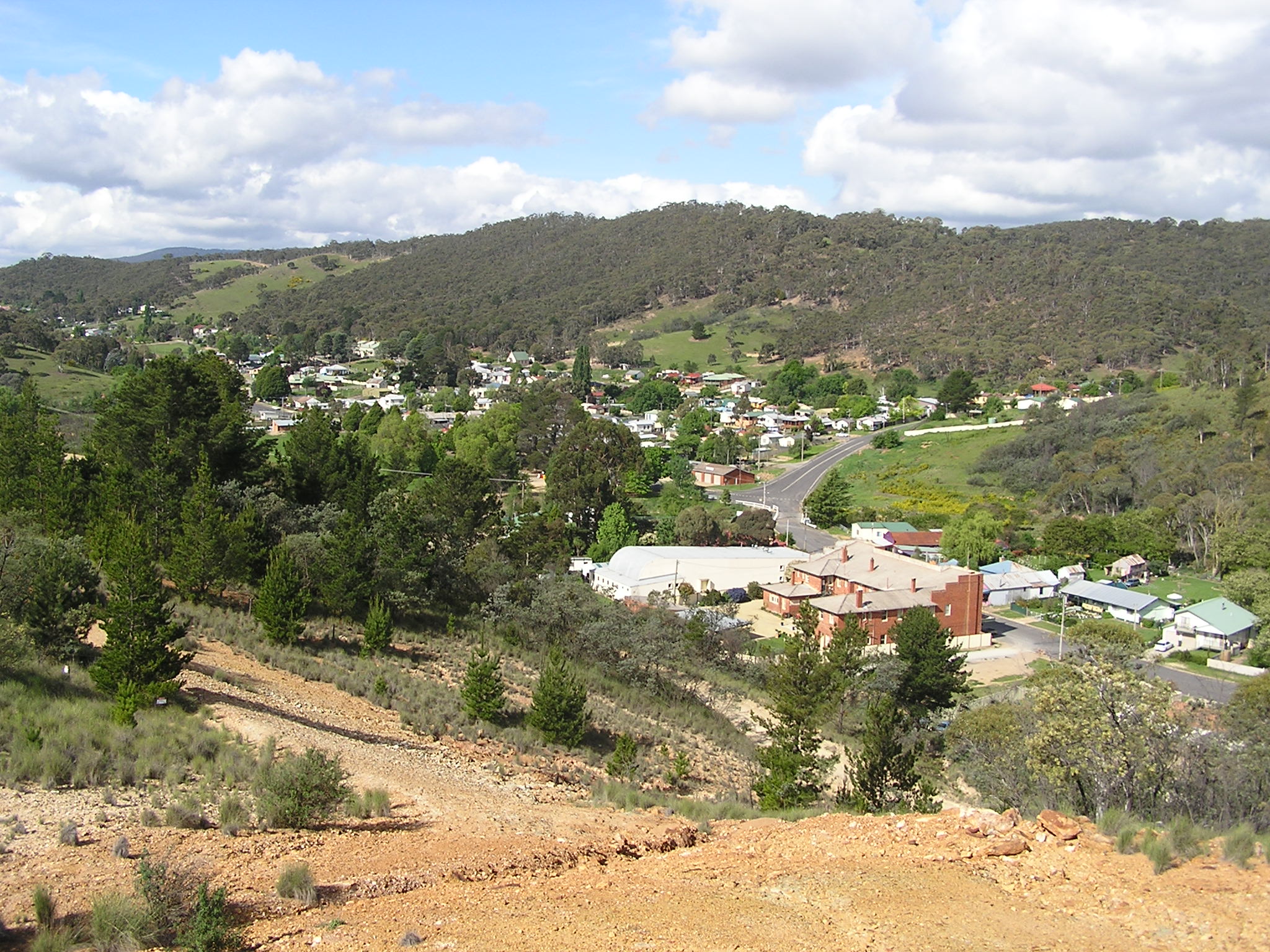
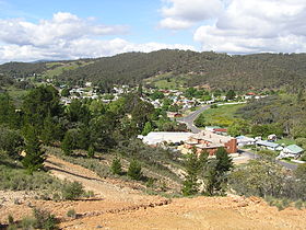
Captains Flat, New South Wales — Infobox Australian Place | type = town name = Captain s Flat state = nsw caption = Captains Flat from Mine Hill lga = Palerang Council postcode = 2623 pop = 421 (2001 census) est = 1883 stategov = Monaro fedgov = Eden Monaro dist1 = 61 location1 … Wikipedia
Captains Flat railway line, New South Wales — Note: All distances from Central stationThe Captains Flat railway line was a country branch line in the Southern Tablelands region of New South Wales. The line branched off the Bombala line at Bungendore Junction, 5 km south of Bungendore and… … Wikipedia
Captains Flat — /kæptənz ˈflæt/ (say kaptuhnz flat) noun a town in south eastern NSW; formerly a mining centre …
Geology of the Australian Capital Territory — Australia grew around three fused pieces of very ancient continental crust (cratons). The geology of the Australian Capital Territory includes rocks dating from the Ordovician around 480 million years ago, whilst most rocks are from the Silurian … Wikipedia
Brigades of the NSW RFS — Brigades of the New South Wales Rural Fire Service Listing by Rural Fire District [http://www.bluemountains.rfs.nsw.gov.au/ Blue Mountains District] * Bell * Blackheath / Mt Victoria * Blaxland * Bullaburra * Faulconbridge * Glenbrook Lapstone *… … Wikipedia
Longest bar in Australia — As with any such statistic, there are a number of claims for the title the longest bar in Australia :* Captains Flat, New South Wales: When the new hotel was built in 1938 was said to have the longest bar in Australia at the time; it was 32… … Wikipedia
Main Southern railway line, New South Wales — [v · New Binalong station on 1916 alignment Gauge: 1,435 mm (4 ft 8 1 … Wikipedia
Molonglo River — Black swans on Molonglo River Origin Tinderry Range, New South Wales Mouth Murrumbidgee River … Wikipedia
Mount Hope railway line — The Mount Hope railway briefly connected the Broken Hill railway line with Mount Hope, New South Wales, Australia. The copper mine for which this branch was constructed to service ceased full time operations four months before the line was opened … Wikipedia
History of Canberra — The History of Canberra details the development of the city of Canberra from the time before white settlement to Canberra s planning by the Chicago architect Walter Burley Griffin and subsequent development to the present day.Pre historyBefore… … Wikipedia
 Captains Flat
 Australie
 Captains Flat