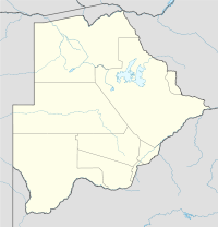
Bokspits
Contenu soumis à la licence CC-BY-SA. Source : Article Bokspits de Wikipédia en français (auteurs)
Regardez d'autres dictionnaires:
Bokspits — is a village in Kgalagadi District of Botswana. It is the southernmost village in Botswana and is located close to the border with South Africa. Bokspits has a primary school and a clinic. The population was 499 in 2001 census. [cite web url=http … Wikipedia
Кгалагади — Kgalagadi Страна Ботсвана Включает 2 субокруга Административный центр Чабонг Официальный язык … Википедия
Geography of Botswana — Continent Africa Region Southern Africa Coordinates … Wikipedia
Kgalagadi District — Demographic info|name=Kgalagadi capital=Tshabong population=42,049 census=2001 area=106,940 density=0.39 Kgalagadi is a district in southwest Botswana, lying along the country s border with Namibia and South Africa. The administrative center is… … Wikipedia
Middlepits — Location of Middlepits Middlepits is a village in … Wikipedia
Makopong — Location of Makopong Makopong is a village in … Wikipedia
Omaweneno — Location of Omaweneno Omaweneno is a village in … Wikipedia
Phepheng — Location of Phepheng Phepheng, also known as Phepeng … Wikipedia
Maralaleng — Location of Maralaleng Maralaleng is a village in … Wikipedia
Maleshe — Location of Maleshe Maleshe is a village in … Wikipedia


