Biggenden
- Biggenden
-
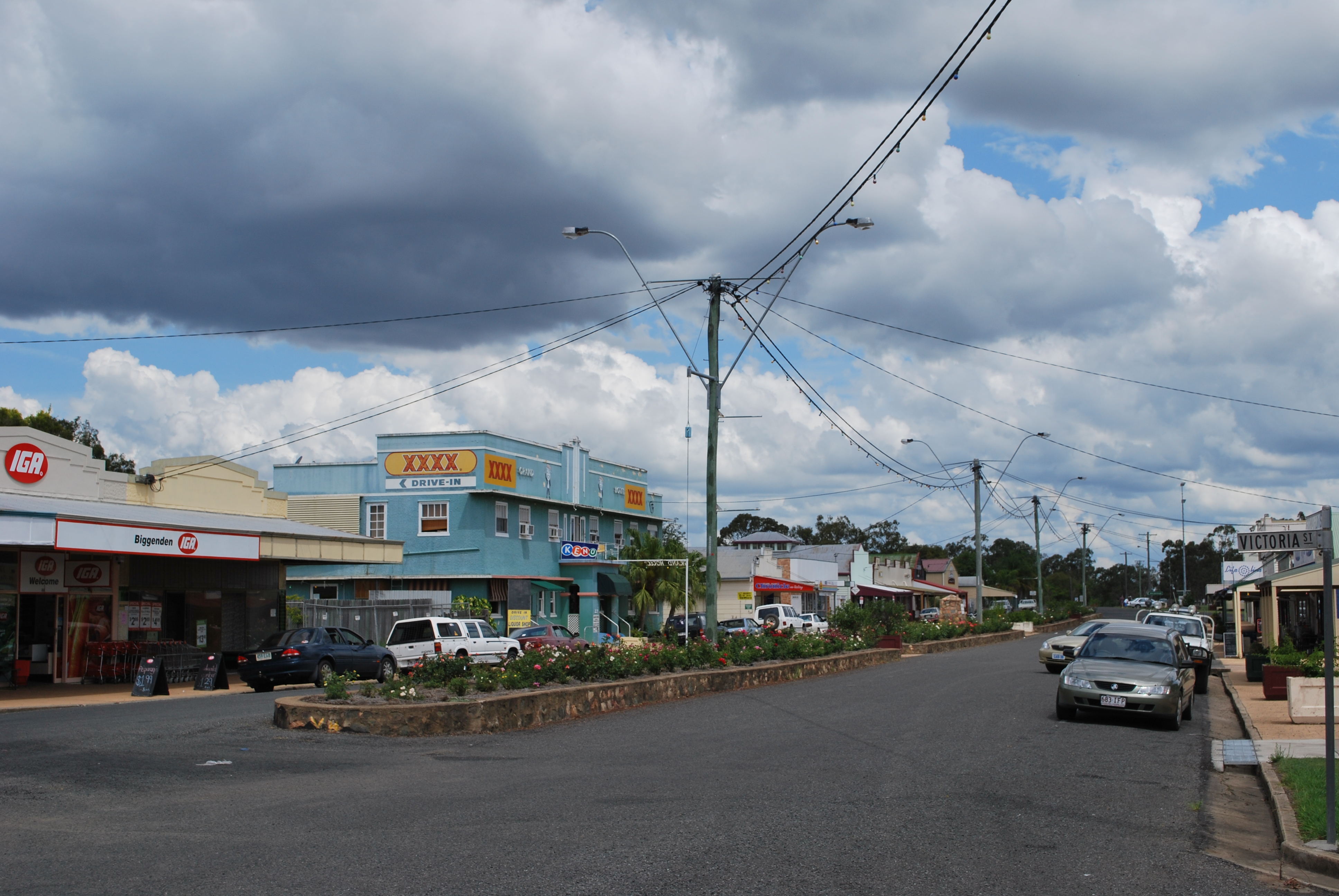
Biggenden (644 habitants) est un village sur l'Isis Highway au sud-est de l'État du Queensland en Australie. Il est situé à 339 km au nord-ouest de Brisbane et à 84 à l'ouest de Maryborough.
L'économie du village repose principalement sur l'élevage des bovins pour la viande et le lait.
Il est à proximité du parc national des lacs Coalstoun et du parc national du mont Walsh
Références
Wikimedia Foundation.
2010.
Contenu soumis à la licence CC-BY-SA. Source : Article Biggenden de Wikipédia en français (auteurs)
Regardez d'autres dictionnaires:
Biggenden, Queensland — Infobox Australian Place | type = town name = Biggenden state = qld caption = Biggenden s main street lga = North Burnett postcode = 4621 est = 1889 pop = 635 (2001 census) elevation= maxtemp = mintemp = rainfall = stategov = Callide fedgov =… … Wikipedia
Shire of Biggenden — Infobox Australian Place | type = lga name = Shire of Biggenden state = qld imagesize= 135 caption = Location within Queensland pop = 1,506 pop footnotes = (2006 census) [Census 2006 AUS | id = LGA30700 | name = Biggenden (S) (Local Government… … Wikipedia
Comté de Biggenden — 25°30′36.22″S 152°02′34.85″E / 25.5100611, 152.0430139 … Wikipédia en Français
North Burnett Region — Queensland Location in Queensland Population … Wikipedia
Shire of Gayndah — Infobox Australian Place | type = lga name = Shire of Gayndah state = qld imagesize= 135 caption = Location within Queensland pop = 2,911 pop footnotes = (2006 census) [Census 2006 AUS | id = LGA33300 | name = Gayndah (S) (Local Government Area)… … Wikipedia
Mungar Junction to Monto Branch Railway — The Mungar Junction to Monto Branch Railway is in Queensland, Australia. Having lost out to Bundaberg for a rail link to Mount Perry, Maryborough turned the tables by securing a link to the Central and Upper Burnett districts of Queensland, where … Wikipedia
Mount Walsh National Park — IUCN Category II (National Park) Mount Walsh Nearest town/city Biggenden, Queensland Coordinates … Wikipedia
Shire of Perry — Infobox Australian Place | type = lga name = Shire of Perry state = qld imagesize= 135 caption = Location within Queensland pop = 445 pop footnotes = (2006 census) [Census 2006 AUS | id = LGA35900 | name = Perry (S) (Local Government Area) |… … Wikipedia
Isis Highway — Infobox Australian Road road name = Isis Highway route route route photo =En route pour bundaberg.jpg caption = Isis Highway between Apple Tree Creek and Bundaberg length = 166 direction = North South start = Bourbong Street, Bundaberg,… … Wikipedia
Shire of Mundubbera — Queensland Location within Queensland Population: 2,236(2006 census) … Wikipedia
 La grand'rue de Biggenden
 Australie
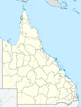
 Biggenden