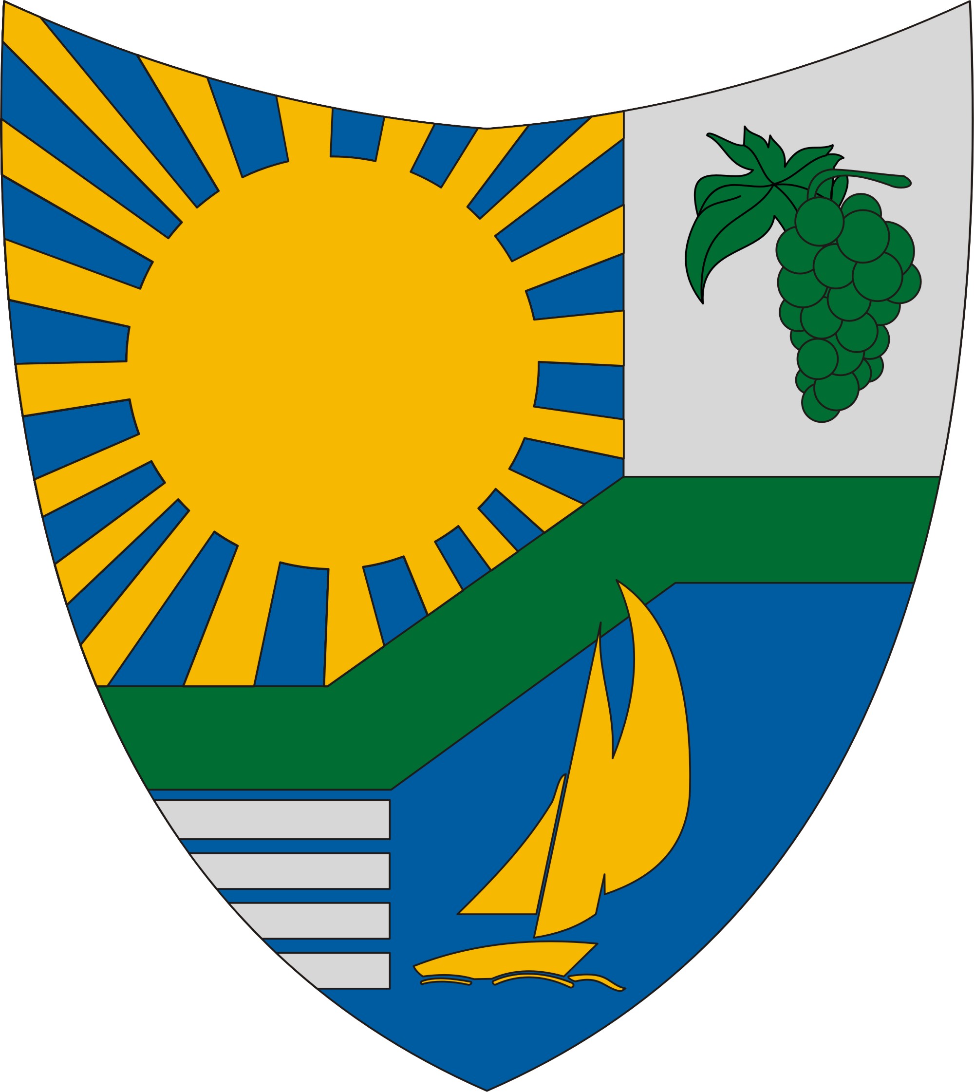
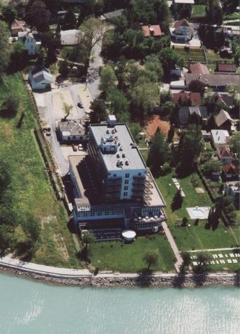
Balatonvilágos
- Balatonvilágos
-
Balatonvilágos est un village et une commune du comitat de Veszprém en Hongrie.
Géographie
Cette section est vide, insuffisamment détaillée ou incomplète.
Votre aide est la bienvenue !
Histoire
Cette section est vide, insuffisamment détaillée ou incomplète.
Votre aide est la bienvenue !
Catégorie :
- Ville et village du comitat de Veszprém
Wikimedia Foundation.
2010.
Contenu soumis à la licence CC-BY-SA. Source : Article Balatonvilágos de Wikipédia en français (auteurs)
Regardez d'autres dictionnaires:
Balatonvilágos — Infobox Settlement subdivision type = Country subdivision name = HUN timezone=CET utc offset=+1 timezone DST=CEST utc offset DST=+2 pushpin pushpin label position = pushpin map caption =Location of Balatonvilágos pushpin mapsize = official… … Wikipedia
Villa Balatonvilágos 2 — (Balatonakarattya,Венгрия) Категория отеля: Адрес: 8171 Balatonakarattya, Ве … Каталог отелей
Traubi — or traubisoda is a brand of soft drink flavored with grape juice. It is produced in Hungary, Austria and Croatia. In Hungary, it is made by a factory called Traubi Hungaria[1] located in the village of Balatonvilágos. The company produces the… … Wikipedia
Lake Balaton — Infobox lake lake name = Lake Balaton image lake = Balaton Hungary Landscape.jpg caption lake = image bathymetry = caption bathymetry = location= Hungary coords = coord|46|50|N|17|44|E|type:waterbody region:HU|display=inline,title type = Rift… … Wikipedia
Cuisine of Hungary — Hungarian or Magyar cuisine is the cuisine characteristic to the nation of Hungary and its primary ethnic group, the Magyars. General features Hungarians are especially passionate about their soups, desserts / pastries and stuffed pancakes (… … Wikipedia
Veszprém (county) — Infobox Hungarian county name =Veszprém region =Central Transdanubia seat = Veszprém area = 4613 population = 375,000 density = 81 cities = 217: For the historical county see Veszprém (former county). Veszprém (in Slovak Vesprím ) is the name of… … Wikipedia
Devecser — Aerial photography: Devecser Palace … Wikipedia
Balaton — Der Balaton vom All aus gesehen (Landsat Satellitenfoto aus dem Jahr 2000) Geographische Lage Westungarn Zuflüsse … Deutsch Wikipedia
Balaton-Oberland — Balaton Der Balaton vom All aus gesehen (Landsat Satellitenfoto aus dem Jahr 2000) Geographische Lage … Deutsch Wikipedia
Blattensee — Balaton Der Balaton vom All aus gesehen (Landsat Satellitenfoto aus dem Jahr 2000) Geographische Lage … Deutsch Wikipedia

 Hongrie


 Balatonvilágos