Uenohara
- Uenohara
-
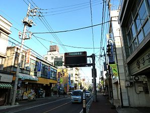
Uenohara (上野原市, Uenohara-shi?) est une ville (市, shi) de la préfecture de Yamanashi, au Japon. La ville a été fondée le 13 février 2005 par la fusion du bourgs d'Uenohara (district de Kitatsuru) et du village d'Akiyama (district de Minamitsuru). La population de la ville est de 26 988 habitants pour une superficie de 170,65 km² (2011).
Liens externes
Wikimedia Foundation.
2010.
Contenu soumis à la licence CC-BY-SA. Source : Article Uenohara de Wikipédia en français (auteurs)
Regardez d'autres dictionnaires:
Uenohara — shi 上野原市 … Deutsch Wikipedia
Uenohara — Original name in latin Uenohara Name in other language Uenohara State code JP Continent/City Asia/Tokyo longitude 35.61667 latitude 139.11667 altitude 165 Population 27840 Date 2012 01 19 … Cities with a population over 1000 database
Uenohara, Yamanashi — nihongo|Uenohara|上野原市|Uenohara shi is a city in Yamanashi Prefecture, Japan.As of November 1, 2005 the city has a population of 28,530. The total area is 170.65km².The city was founded on February 13, 2005 by the mergers of Uenohara from… … Wikipedia
Uenohara, Yamanashi (town) — was a town located in Yamanashi, Japan.As of 2004, the area within the former town of Uenohara has an estimated population of 26555 and a density of 211.58 persons per km². The total area is 125.51 km².On February 13, 2005, the town of Uenohara,… … Wikipedia
Hotel Route-Inn Sagamiko Uenohara — (Uenohara,Япония) Категория отеля: 3 звездочный отель Адрес: 409 0112 Яманас … Каталог отелей
4381 Uenohara — Infobox Planet minorplanet = yes width = 25em bgcolour = #FFFFC0 apsis = name = Uenohara symbol = caption = discovery = yes discovery ref = discoverer = N. Kawasato discovery site = Uenohara discovered = November 22, 1989 designations = yes mp… … Wikipedia
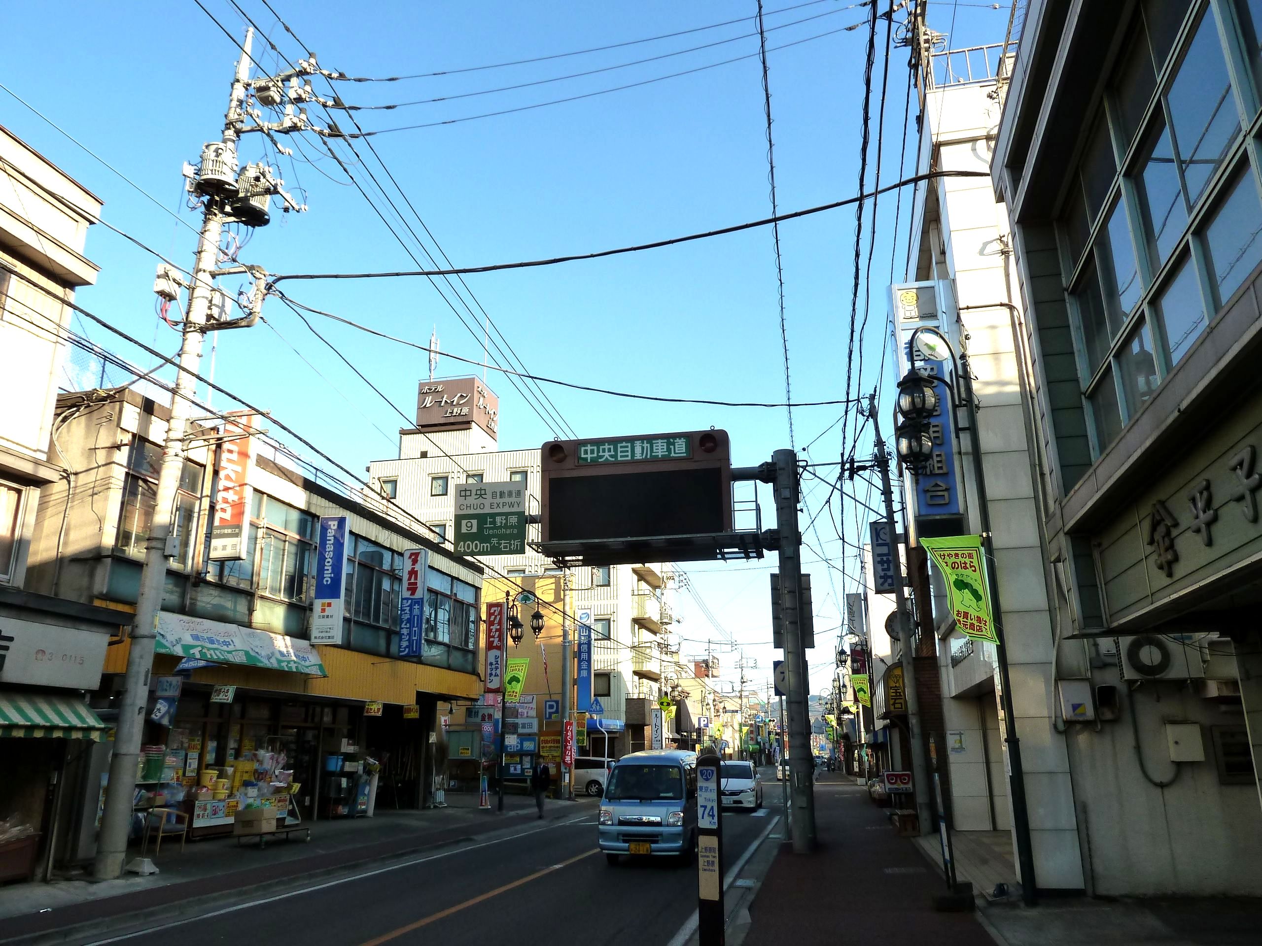
Chūō Expressway — 中央自動車道 Ro … Wikipedia
Kōshū Kaidō — The nihongo|Kōshū Kaidō|甲州街道 was one of the five routes of the Edo period and it was built to connect Edo (modern day Tokyo) with Kai Province in modern day Yamanashi Prefecture, Japan. The route continues from there to connect with the Nakasendō … Wikipedia
Kōshū Kaidō — Le Kōshū Kaidō (甲州街道, Kōshū Kaidō?) était une des cinq routes de la période Edo et avait été construite pour relier Edo (à présent Tokyo) à la province de Kai dans la préfecture de Yamanashi moderne. Puis la route continue pour rejoindre la… … Wikipédia en Français
Chūō-Autobahn — bei Uenohara Länge: 366,8 km … Deutsch Wikipedia