Szprotawa
- Szprotawa
-
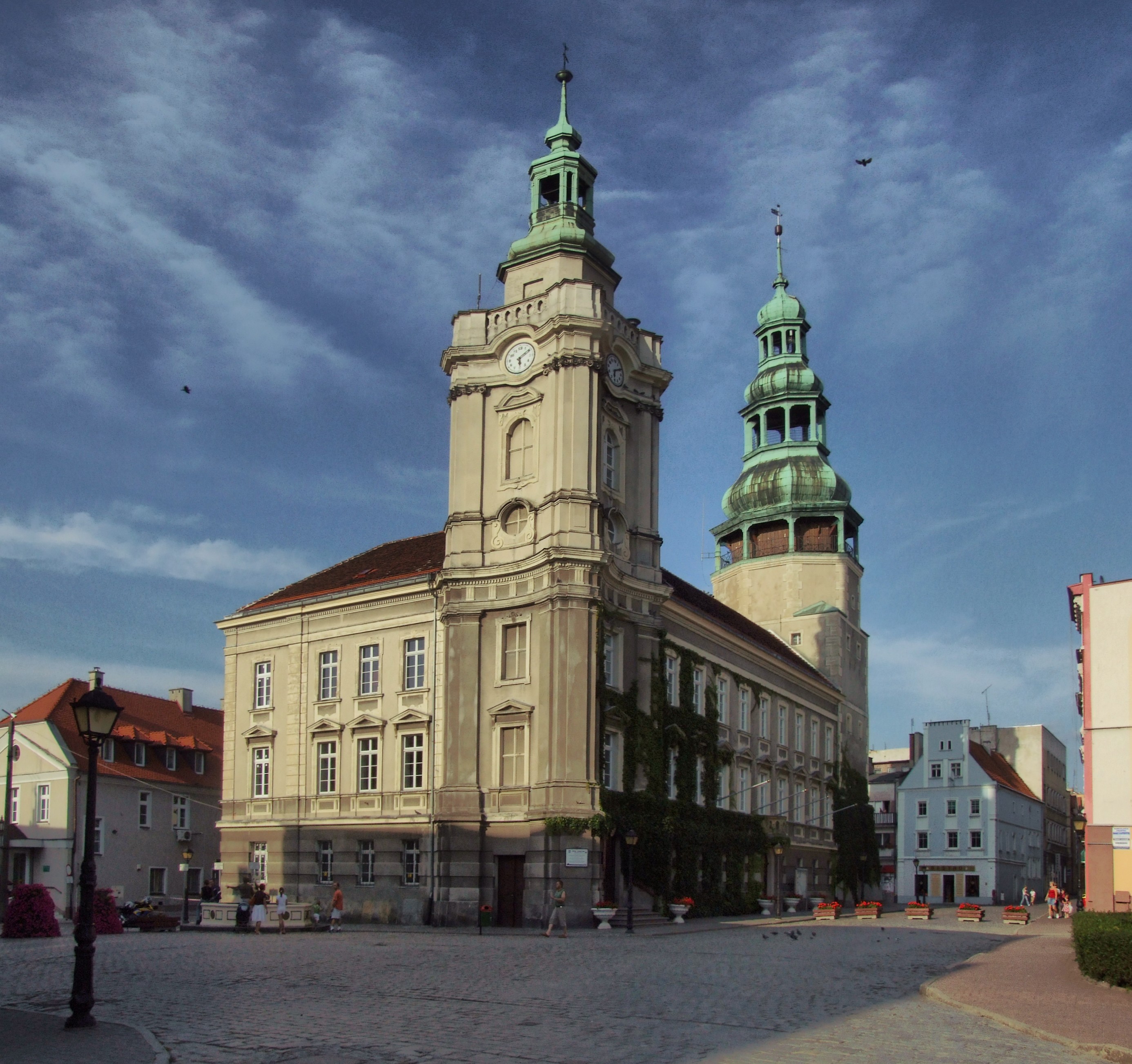
Szprotawa (en allemand Sprottau) est une ville de Pologne dans la Voïvodie de Lubusz. Elle se trouve sur la rivière Bóbr.
Sur les autres projets Wikimedia :
Wikimedia Foundation.
2010.
Contenu soumis à la licence CC-BY-SA. Source : Article Szprotawa de Wikipédia en français (auteurs)
Regardez d'autres dictionnaires:
Szprotawa — Szprotawa … Deutsch Wikipedia
Szprotawa — [ʃprɔ tava], Stadt in Polen, Sprottau … Universal-Lexikon
Szprotawa — Infobox Settlement name = Szprotawa image shield = POL Szprotawa COA.svg pushpin pushpin label position = bottom subdivision type = Country subdivision name = POL subdivision type1 = Voivodeship subdivision name1 = Lubusz subdivision type2 =… … Wikipedia
Szprotawa — Original name in latin Szprotawa Name in other language Sprottau, Szprotawa State code PL Continent/City Europe/Warsaw longitude 51.56563 latitude 15.53664 altitude 130 Population 12786 Date 2010 09 10 … Cities with a population over 1000 database
Gmina Szprotawa — Infobox Settlement name = Gmina Szprotawa other name = Szprotawa Commune settlement type = Gmina total type = Total image shield = POL Szprotawa COA.svg subdivision type = Country subdivision name = POL subdivision type1 = Voivodeship subdivision … Wikipedia
Wallburg Chrobry in Szprotawa — Die Wallburg Chrobry in Szprotawa ist ein archäologisches Bodendenkmal, die Datierung ihrer Erbauung ist unsicher. Sie liegt im Bobertal auf dem Gebiet des Naturschutzgebietes „Slavischer Park”. Ihre Oberfläche beträgt ca. 4 Hektar und die… … Deutsch Wikipedia
Jüdischer Friedhof (Szprotawa) — 51.566215.5362 Koordinaten: 51° 33′ 58″ N, 15° 32′ 10″ O … Deutsch Wikipedia
Chrobry fortified village in Szprotawa — Remnants of the earthworks as seen from the west De … Wikipedia
Sprottau — Szprotawa … Deutsch Wikipedia
Muzeum Ziemi Szprotawskiej — (Polish: Museum of the Szprotawa Land), established 2000 by Towarzystwo Bory Dolnośląskie (Polish: The Lower Silesia Deep Woods Appreciation Society). It is the local center for historical and archeological research pertaining to the old… … Wikipedia

 Pologne
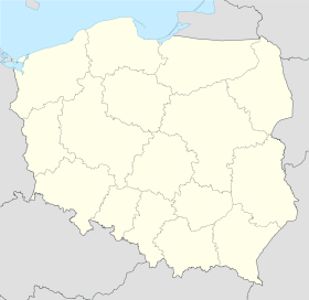
 Szprotawa
 Hôtel de ville
 Catégorie :