Stow-on-the-Wold
- Stow-on-the-Wold
-
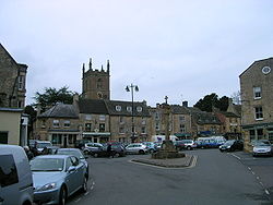
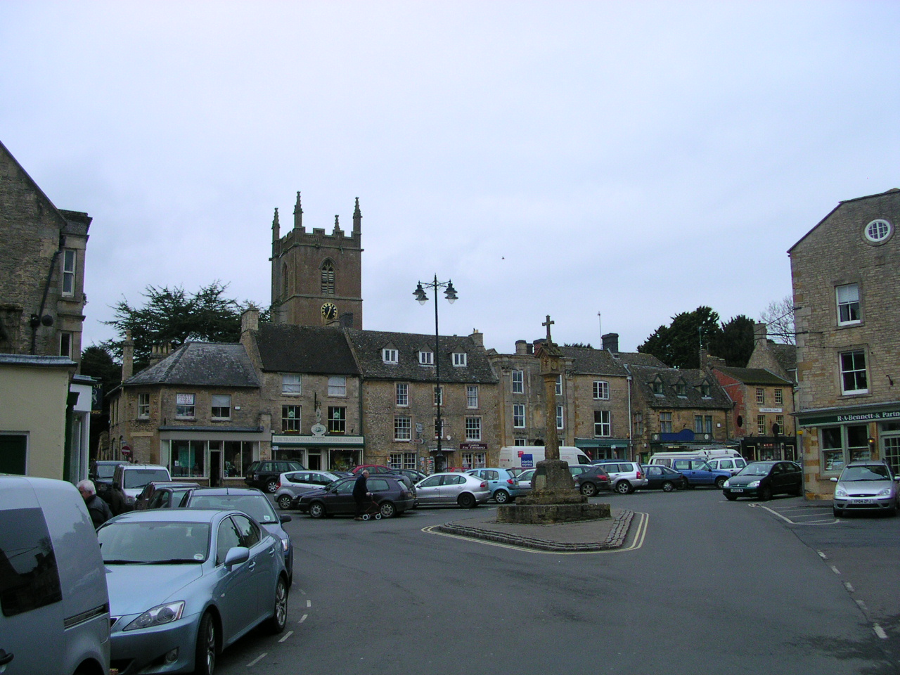
Market Square avec l'église St Edwards en arrière-plan.
51°55′39″N 1°43′4″O / 51.9275, -1.71778 Stow-on-the-Wold est un bourg et une paroisse civile anglaise située dans le district de Cotswold et le comté du Gloucestershire.
Il est situé dans le nord-est du Gloucestershire au sommet d'une colline culminant à 244 m, au croisement d'un certain nombre de routes importantes des Cotswolds, dont la Fosse Way (A429). La localité est située à 80 km de Bristol, 70 km de Birmingham et 50 km d'Oxford.
Stow-on-the-Wold comptabilisa 2794 habitants en 2001.
C'est un important centre commercial et le bourg comporte de nombreux magasins d'antiquité et d'artisanat, ainsi que des galeries d'art. Les bâtiments, construits en pierres couleur miel caractéristiques des Cotswolds, datent en majorité du XVIe siècle.
Stow-on-the-Wold accueille chaque année une immense foire attirant encore aujourd'hui de nombreuses personnes.
Liens externes
Wikimedia Foundation.
2010.
Contenu soumis à la licence CC-BY-SA. Source : Article Stow-on-the-Wold de Wikipédia en français (auteurs)
Regardez d'autres dictionnaires:
Stow on the Wold — (spr. ßtō ŏn dhĕ ŭōld), Stadt in Gloucestershire (England), am Fosseway, einer alten Straße, die von Devonshire zum Humber führte, mit alter Kirche, Lateinschule, Handel mit Malz und (1901) 1386 Einw … Meyers Großes Konversations-Lexikon
Stow-on-the-Wold — Infobox UK place country= England region= South West England official name= Stow on the Wold static static image caption= Market Square civil parish= Stow on the Wold shire district= Cotswold shire county= Gloucestershire os grid reference=… … Wikipedia
Stow-on-the-Wold — 51.93 1.7227777777778 Koordinaten: 51° 56′ N, 1° 43′ W … Deutsch Wikipedia
Stow on the Wold — Original name in latin Stow on the Wold Name in other language Stow on the Wold State code GB Continent/City Europe/London longitude 51.93008 latitude 1.72382 altitude 235 Population 2120 Date 2010 08 03 … Cities with a population over 1000 database
Battle of Stow-on-the-Wold — Infobox Military Conflict conflict=Battle of Stow on the Wold partof=English Civil War date=March 21 1646 place=near Stow on the Wold, Gloucestershire result=Parliamentarian victory combatant1=Parliamentarians combatant2=Royalists commander1=Sir… … Wikipedia
Stow-on-the-Wold Fair — Cotswolds region, England. A popular gathering for Gypsies. In 1476 a royal charter was granted by Edward IV for the fair. Gypsies have been attending it since about 1890. The fair takes place in May and October, and trading is on a Thursday.… … Historical dictionary of the Gypsies
Stow — may refer to ;Placenames:;United Kingdom::*Stow cum Quy, Cambridgeshire:*Stow, Lincolnshire (also known as Stow in Lindsey):*Stow, Scottish Borders, properly Stow of Wedale:*Stow Bardolph, Norfolk:*Stow on the Wold, Gloucestershire:*Stowmarket… … Wikipedia
Stow — ist der Name folgender Orte in den USA: Stow (Maine) Stow (Massachusetts) Stow (Ohio) in Großbritannien: Stow (Lincolnshire) Stow (Schottland) Stow cum Quy, Cambridgeshire Stow on the Wold, Gloucestershire Stow ist der Familienname folgender… … Deutsch Wikipedia
The Cotswolds (UK Parliament constituency) — Coordinates: 51°45′22″N 1°46′08″W / 51.756°N 1.769°W / 51.756; 1.769 … Wikipedia
Telephone numbers in the United Kingdom — +44 redirects here. For the band, see +44 (band). United Kingdom telephone numbers Location of United Kingdom (dark green) Location Country United Kingdom Continent … Wikipedia