Rupat
- Rupat
-
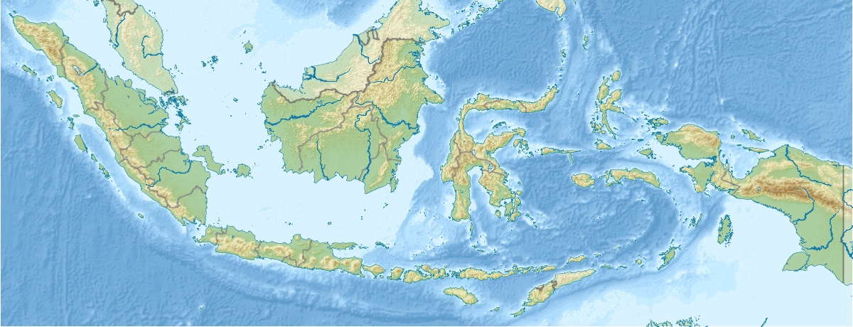
Rupat est une île située dans le détroit de Malacca, non loin de la côte est de l'île indonésienne de Sumatra, dont elle est séparée par un bras de mer de 5 km. L'île est plate et marécageuse. De forme circulaire, elle a un diamètre d'environ 50 km. Sa superficie est d'environ 1 520 km².
Son climat est chaud et humide et il y pleut abondamment pendant la plus grande partie de l'année. On dit que la plage de sable blanc de Pasir Panjang ("sable long" en malais), qui s'étire sur 17 kilomètres de long et 30 mètres de large, est la plus longue d'Indonésie. De Rupat, on aperçoit la côte de Malaisie.
Administrativement, Rupat fait partie du kabupaten (département) de Bengkalis dans la province de Riau.
Population
Rupat est peu peuplée. Les habitants sont Malais et Akit, une population indigène qui maintiennent leur culture et mode de vie.
Les habitants de Rupat ont des liens avec leurs cousins de Malaisie. Le ringgit malaisien y est d'ailleurs accepté.
Wikimedia Foundation.
2010.
Contenu soumis à la licence CC-BY-SA. Source : Article Rupat de Wikipédia en français (auteurs)
Regardez d'autres dictionnaires:
Rupat — is an island in the Strait of Malacca, Riau province, Indonesia. It lies just off the eastern coast of Sumatra, across from Dumai city, across the Strait of Rupat (Selat Rupat). Its area is 1490 km². The island is sparsely populated … Wikipedia
Rupat — Rupat, Insel in der Malaccastraße, nahe an der Ostküste von Sumatra … Pierer's Universal-Lexikon
Rupat — Vorlage:Infobox Insel/Wartung/Bild fehltVorlage:Infobox Insel/Wartung/Höhe fehlt Rupat Gewässer Straße von Malakka Geographische Lage … Deutsch Wikipedia
Rupat Island — ▪ island, Indonesia Indonesian Pulau Rupat , Rupat also spelled Roepat island in the Strait of Malacca, Riau provinsi (province), Indonesia. It lies just off the eastern coast of Sumatra across a 3 mile (5 kilometre ) wide channel,… … Universalium
Бенкалис (округ) — У этого термина существуют и другие значения, см. Бенкалис (значения). Бенкалис Bengkalis Герб … Википедия
List of current ships of the Indonesian Navy — All the Navy Vessels are named with the KRI Initial. KRI (Kapal Perang Republik Indonesia) means Navy Vessel Of The Republic Of Indonesia. The class are often named after the lead ships. Naval Jack of Indonesia The navy includes Frigates,… … Wikipedia
Malacca Strait Bridge — Jambatan/Jembatan Selat Melaka Official name Malacca Strait Bridge Carries Motor vehicles Crosses Straits of Malacca Locale Dumai Rupat Toll Road, Indonesia Telok Gong Masjid Tanah Alor Gajah … Wikipedia
Riau — ▪ province, Indonesia provinsi (“province”), east central Sumatra, Indonesia. It is bounded by the provinces of Jambi on the south, Sumatera Barat (West Sumatra) on the west, Sumatera Utara (North Sumatra) on the north and northwest, the… … Universalium
Чихоткин, Виктор Фёдорович — Виктор Федорович Чихоткин Чихоткин Виктор Федорович Дата рождения … Википедия
Islands of Indonesia — Indonesia comprises 17,508 islands (based from Seminar Nasional Penetapan Nama Pulau pulau Kecil Dalam Presektif Sejarah or National Seminary of Name For Little Islands From History Side , July 16 to 18 at Palembang, South Sumatra, Indonesia, now … Wikipedia
 Indonésie
 Rupat
Rupat