N302
- N302
-
Route nationale 302
La route nationale 302 est une route nationale française située entièrement en Seine-Saint-Denis (région Île-de-France).
Tracé
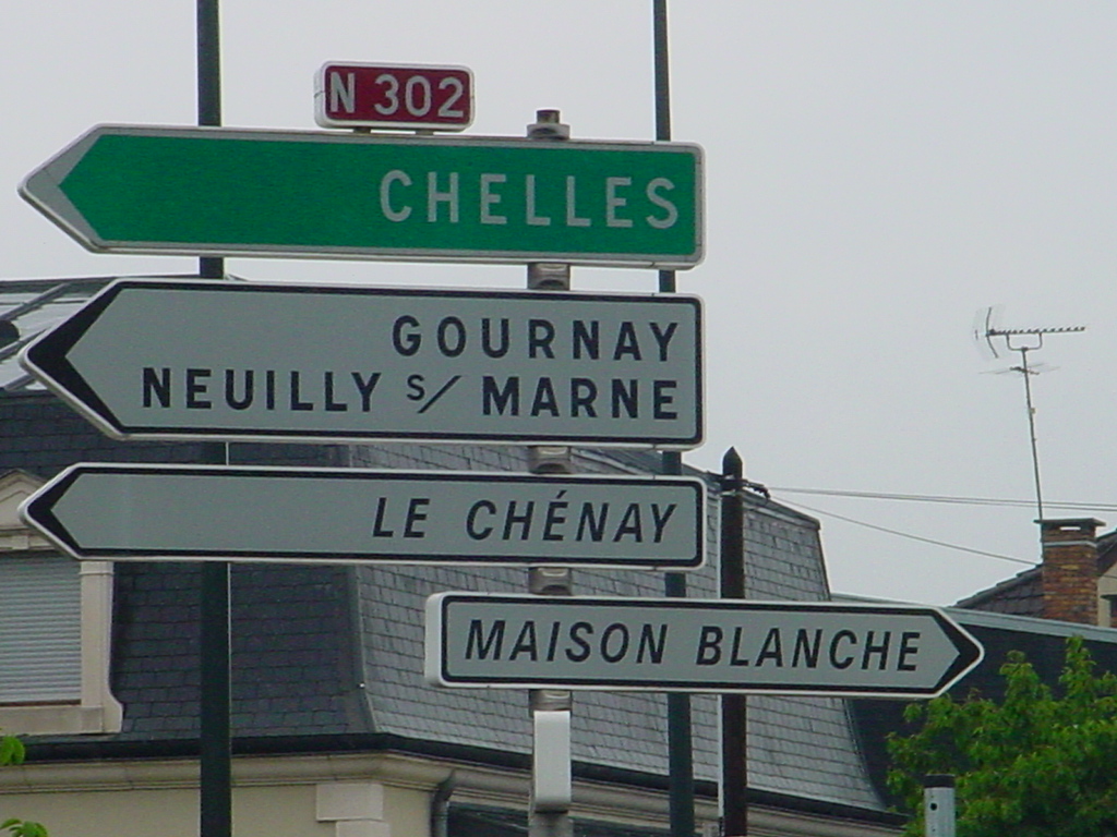
Cette route démarre à la Porte de Montreuil (Paris 20e). Elle passe ensuite à Montreuil (Seine-Saint-Denis) en traversant la ville de l'ouest au nord-est, fait une brève incursion dans Noisy-le-Sec puis traverse Rosny-sous-Bois, Villemomble et Gagny. Elle se termine à la Pointe de Gournay et jonction avec la N34.

Panneau signalisation de la N302
 Portail de la route
 Portail de l’Île-de-France
Catégories : Route nationale d'Île-de-France | Gagny
Wikimedia Foundation.
2010.
Contenu soumis à la licence CC-BY-SA. Source : Article N302 de Wikipédia en français (auteurs)
Regardez d'autres dictionnaires:
Lelystad — Infobox Settlement official name = Lelystad map caption = The municipality is highlighted in green, the city is located at the middle of the northwestern border. mapsize = 280px subdivision type = Country subdivision name = Netherlands… … Wikipedia
The North Face — This article is about The North Face, Inc., the outdoor product company. For other uses, see The North Face (disambiguation). The North Face, Inc. Mantra: Never Stop Exploring Type Subsidiary … Wikipedia
A7 motorway (Netherlands) — Location of the A7 motorway in the Netherlands. The A7 motorway is a motorway in the Netherlands connecting Zaandam, via the Afsluitdijk, Sneek and Groningen to the German border near Bad Nieuweschans. The entire road is part of the European… … Wikipedia
Houtribdijk — The Houtribdijk is a dike in the Netherlands, built between 1963 and 1975 as part of the Zuiderzee Works, which connects the cities of Lelystad and Enkhuizen. On one side of the dike is the Markermeer and on the other is the IJsselmeer. The 30… … Wikipedia
A58 — Rijksweg A58/N58 Länge: 167 km … Deutsch Wikipedia
Autosnelweg — Die Niederlande haben mit 57,5 Kilometern den größten Anteil Autobahnkilometer pro 1000 km² in der Europäischen Union. Insgesamt besitzen die Niederlande ein Autobahnnetz von 2360 km. Die älteste niederländische Autobahn ist die A12 zwischen Den… … Deutsch Wikipedia
Autosnelweg A7 — Rijksweg A7/N7 Länge: 236 km Ans … Deutsch Wikipedia
Autoweg — Inhaltsverzeichnis 1 Autosnelweg 2 Autoweg 3 Rijksweg 4 Provinciale Weg // Autosnelweg Autosnelweg ist die Bez … Deutsch Wikipedia
Drechterland — Gemeinde Drechterland Flagge Wappen Provinz Nordholland … Deutsch Wikipedia
Enkhuizen — Gemeinde Enkhuizen Flagge Wappen Provinz Nordholland Bürgermeister … Deutsch Wikipedia