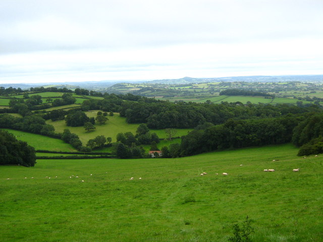
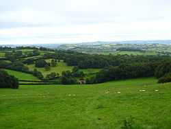
Mendip Hills
Contenu soumis à la licence CC-BY-SA. Source : Article Mendip Hills de Wikipédia en français (auteurs)
Regardez d'autres dictionnaires:
Mendip Hills — Die Mendip Hills sind ein aus Kalkstein (Karst) bestehender Höhenzug in England. Er befindet sich 25 km südlich von Bristol im Norden von Somerset. Die Hügel werden im Süden und Westen von den Somerset Levels genannten Mooren begrenzt. Im Norden… … Deutsch Wikipedia
Mendip-Hills — Mendip Hills, Gebirgszug im Nordosten der englischen Grafschaft Somersett 1) … Pierer's Universal-Lexikon
Mendip Hills — Mendip Hills, eine 40 km lange Hügelkette im nördlichen Teil der engl. Grafschaft Somerset, steigt im Black Down bis zu 325 m an und besteht großenteils aus Heideland. Blei und Galmeigruben werden hier seit undenklichen Zeiten ausgebeutet. Eine… … Meyers Großes Konversations-Lexikon
Mendip Hills — Coordinates: 51°18′N 2°44′W / 51.3°N 2.733°W / 51.3; 2.733 … Wikipedia
Mendip Hills — Men|dip Hills also the Mendips the Mendip Hills a ↑range of hills in southwest England, in the ↑county of Somerset … Dictionary of contemporary English
Mendip Hills — Sp Meñdipo kalvos Ap Mendip Hills L Jungtinėje Karalystėje (Anglijoje) … Pasaulio vietovardžiai. Internetinė duomenų bazė
Mendip Hills — ▪ hills, England, United Kingdom range of hills in the geographic county of Somerset, England, extending 23 miles (37 km) northwest from the Frome valley. The Eastern Mendip is comparatively low, but the Western Mendip forms a plateau 6… … Universalium
Caves of the Mendip Hills — The Caves of the Mendip Hills are formed by the particular geology of the Mendip Hills, with large areas of limestone worn away by water makes it a national centre for caving. The hills conceal the largest underground river system in Britain.… … Wikipedia
Quarries of the Mendip Hills — The Mendip Hills are the most southerly Carboniferous Limestone Upland in Britain and are found in northern Somerset.They are composed of three major anticlinal structures, each with a core of older Devonian sandstone and Silurian volcanic rocks … Wikipedia
Mendip Way — Length 80 km (50 mi) Location Mendip Hills, Somerset, England Designation Recreational Route Trailheads Weston super Mare grid reference … Wikipedia
 Mendip Hills