- Jandrenouille
-
Jandrain-Jandrenouille
 Jandrain-Jandrenouille
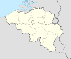

Administration Pays  Belgique
Région  Région wallonne
Communauté  Communauté française
Province  Province du Brabant wallon
Arrondissement Nivelles Commune Orp-Jauche Géographie Coordonnées Superficie (inconnue) km² Population
Densité(inconnue) hab. (??/??/????)
(inconnue) hab./km²Autres informations Gentilé (inconnu) Code postal 1350 Zone téléphonique 019 Site officiel (inconnu)  L'église Saint-Thibault
Jandrain-Jandrenouille (en wallon Djandrin-Djangnoûle) est une section de la commune belge d'Orp-Jauche située en Région wallonne dans la province du Brabant wallon.
C'était une commune à part entière avant la fusion des communes de 1977.
Sommaire
Toponymie
Histoire
Économie
Jumelage
Liens externes
- Site de la commune d'Orp-Jauche.
- Site de l’ Union des Villes et Communes de Wallonie asbl.
- Anjowi Computer Services Dépannage informatique à Orp=Jauche.
 Portail de la Wallonie
 Portail de la Belgique
Catégorie : Commune avant fusion de la province du Brabant wallon


Wikimedia Foundation. 2010.