Generic Mapping Tools
Contenu soumis à la licence CC-BY-SA. Source : Article Generic Mapping Tools de Wikipédia en français (auteurs)
Regardez d'autres dictionnaires:
Generic Mapping Tools — Entwickler Paul Wessel und Walter H. F. Smith Aktuelle Version 4.5.7 (15. Juli 2011) Betriebssystem Linux, Mac OS X, Windows Kategorie Kartensoft … Deutsch Wikipedia
Generic Mapping Tools — (GMT) Тип генератор карт Написана на C/C++ … Википедия
Generic Mapping Tools — (GMT) is an open source collection of tools for processing and displaying xy and xyz datasets, including rasterisation, filtering and other image processing operations, and various kinds of map projections. A comprehensive collection of free GIS… … Wikipedia
Generic Mapping Tools — Mapa topográfico de Alemania. GMT (acrónimo del inglés Generic Mapping Tools) es una colección de programas de código abierto para la confección de diagramas y mapas geológicos o geográficos. GMT ofrece herramientas para elaborar registros de… … Wikipedia Español
Data mapping — Data transformation/Source transformation Concepts metadata · data mapping data transformation · model transf … Wikipedia
Software tools for molecular microscopy — There are a large number of software tools or software applications that have been specifically developed for the field sometimes referred to as molecular microscopy or cryo electron microscopy or cryoEM. Several special issues of the Journal of… … Wikipedia
Gebco — (General Bathymetric Chart of the Oceans) ist ein bathymetrischer, weltweiter Datensatz. Er basiert auf zusammengetragenen Daten aus Schiffs Echoloten. Somit ist er sehr genau für häufig befahrene Seewege. Die Topografie wurde anhand von… … Deutsch Wikipedia
Sistema de Información Geográfica — En la imagen capas raster y vectoriales en el SIG de código libre QGIS, usado como interfaz gráfica de usuario de GRASS … Wikipedia Español
Работа с GMT под Windows — Связать? … Википедия
Map projection — A medieval depiction of the Ecumene (1482, Johannes Schnitzer, engraver), constructed after the coordinates in Ptolemy s Geography and using his second map projection A map projection is any method of representing the surface of a sphere or other … Wikipedia
 Pour les articles homonymes, voir GMT.
 Logo GMT
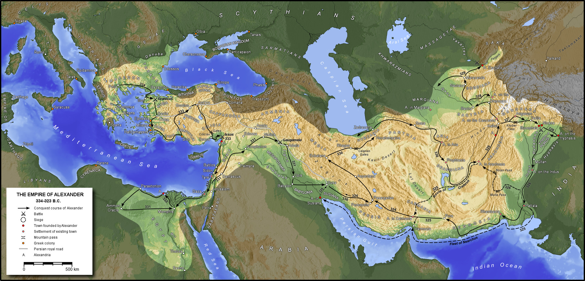
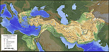 Exemple de carte créée avec GMT, ici l’empire d’Alexandre