Donner Memorial State Park
- Donner Memorial State Park
-
Parc d'État Donner Memorial

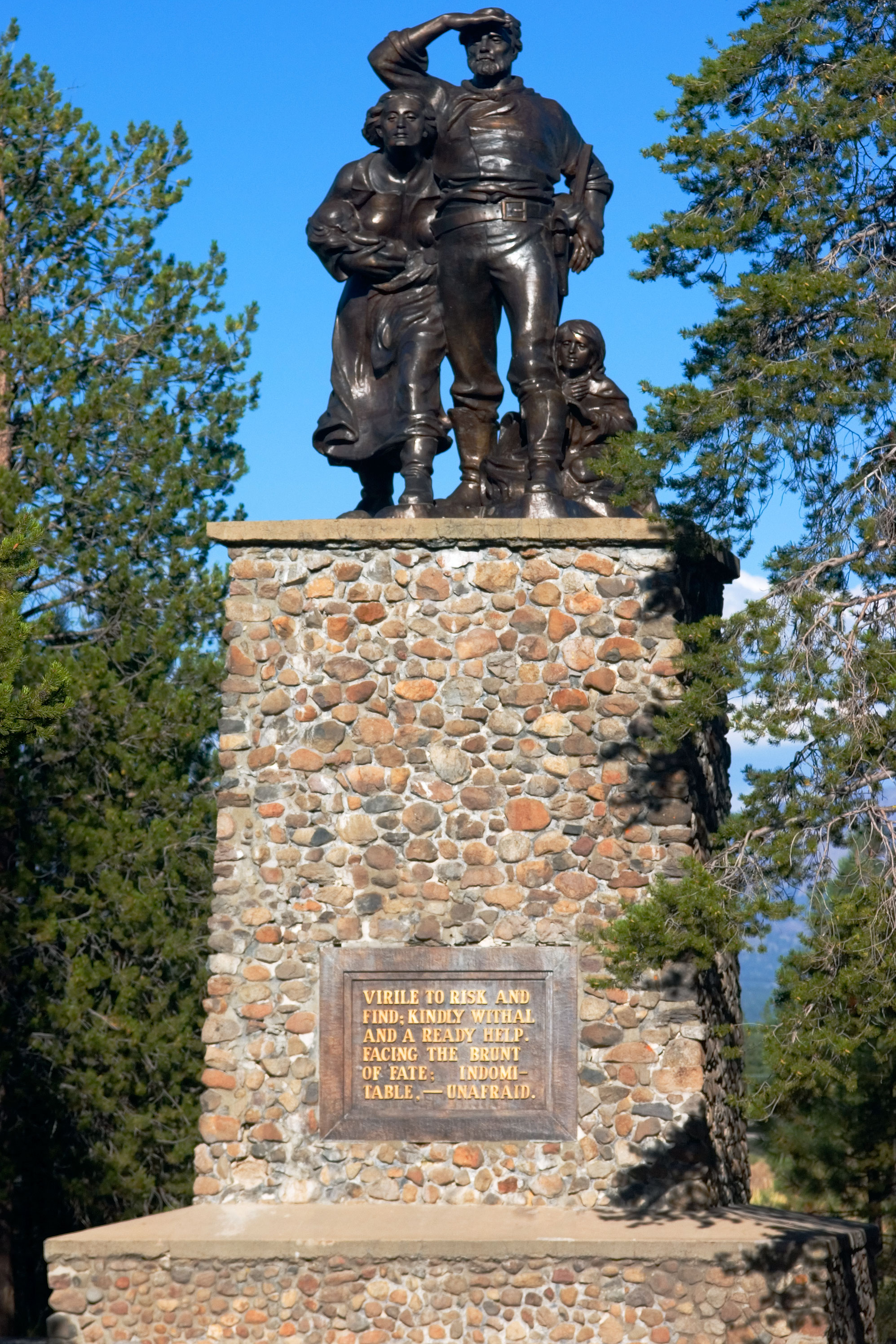
Le monument de l'expédition Donner.
Le Donner Memorial State Park est un parc d'état situé près de Truckee, en Californie. Le parc est nommé d'après la malheureuse expédition Donner, et contient un musée et un monument dédiés à ces colons. Le parc dispose aussi de 4 km de piste et 5 km de rivage sur le lac Donner.
Liens externes
Catégorie : Parc d'État de la Californie
Wikimedia Foundation.
2010.
Contenu soumis à la licence CC-BY-SA. Source : Article Donner Memorial State Park de Wikipédia en français (auteurs)
Regardez d'autres dictionnaires:
Donner Memorial State Park — Donner Camp U.S. National Register of Historic Places U.S. National Historic Landmark … Wikipedia
McArthur-Burney Falls Memorial State Park — Location Shasta County, California … Wikipedia
Parc d'Etat Donner Memorial — Parc d État Donner Memorial Le monument de l expédition Donner. Le Donner Memorial State Park est un parc d état situé près de Truckee, en Californie. Le parc est nommé d après la malheureuse expédition Donner, et contient un musée et un monument … Wikipédia en Français
Donner Lake — as seen from McClashan Point Location Nevada County, California, USA Coordinates … Wikipedia
Donner — is a variation of Donar, the German name of the god Thor – particularly as a character in the first opera, Das Rheingold of Richard Wagner s opera cycle Der Ring des Nibelungen. In modern German, it means thunder. It can also refer to:… … Wikipedia
Mount Tamalpais State Park — Main article: Mount Tamalpais Mount Tamalpais State Park IUCN Category III (Natural Monument) … Wikipedia
Cuyamaca Rancho State Park — Further information: Rancho Cuyamaca Cuyamaca Rancho State Park West Mesa Trail in the Laguna Mountains, Cuyamaca Rancho State Park. Location … Wikipedia
Malibu Creek State Park — Malibu Creek State Park, with the Goat Buttes in the background. Coordinates … Wikipedia
Chino Hills State Park — Coordinates: 33°57′16″N 117°42′07″W / 33.954325°N 117.701855°W / 33.954325; 117.701855 … Wikipedia
Crystal Cove State Park — Location Orange County, California Nearest city Newport Beach[1] … Wikipedia