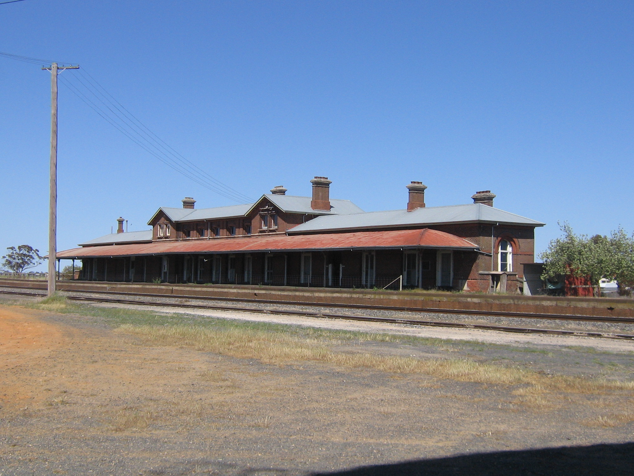
Serviceton
Contenu soumis à la licence CC-BY-SA. Source : Article Serviceton de Wikipédia en français (auteurs)
Regardez d'autres dictionnaires:
Serviceton, Victoria — Infobox Australian Place | type = town name = Serviceton state = vic caption = Platform side of Serviceton railway station lga = Shire of West Wimmera postcode = 3420 est = 1887 pop = 377 elevation= 119 maxtemp = 21.2 mintemp = 8.1 rainfall = 490 … Wikipedia
Serviceton railway line, Victoria — VictorianRailwayLineInfobox type = vic name = Serviceton yearcommenced = yearopened = 1862 yearcompleted = to South Australian border in 1887 yearclosed = fate = lengthkm = stations = tracks = Single broad gauge to Ararat, standard gauge beyond… … Wikipedia
Inala, Queensland — Infobox Australian Place name = Inala caption = The Bremer Institute of TAFE, Inala state = qld type = suburb lga = Brisbane City Council city = Brisbane est = postcode = 4077 area = pop = 12,568 (2004 census) [… … Wikipedia
History of rail transport in Australia — This article is part of the history of rail transport by country series Following the British model, Australians generally assumed in the 1850s that railways would be built by the private sector. Private companies built railways in the then… … Wikipedia
Rail transport in South Australia — South Australia was the first colony in Australia to build a railway line. It was a horse drawn tramway from the port of Goolwa on the Murray River to an ocean harbour at Port Elliot in 1854. Today the state has RailGauge|1600 broad gauge… … Wikipedia
Railway town — A railway town is a settlement that originated or was greatly developed because of a railway station or junction at its site. Examples include:ExamplesAustralia*Peterborough, South Australia [cite web url=http://www.smh.com.au/news/South… … Wikipedia
Warrenheip railway station, Victoria — VictorianClosedRailwayStation NAME= Warrenheip IMAGELINK=VLine VLocity Warrenheip.jpg CAPTION = V/Line VLocity train passing the junction at Warrenheip LINE=Serviceton DISTANCE=107.20 km PLATFORMS= 1 TRACKS= 2 STATUS=Closed OPENED=February 1 1873 … Wikipedia
Histoire des chemins de fer australiens — ██████████60 … Wikipédia en Français
List of localities in Victoria (Australia) — Map of Local Government Areas in Victoria This is a list of locality names and populated place names in the state of Victoria, Australia, outside the Melbourne metropolitan area. It is organised by region from the south west of the state to the… … Wikipedia
Ballarat V/Line rail service — Ballarat railway line, Victoria Line details Tracks Double track to Deer Park West, single track with loops beyond. Used by V/Line, freight Service pattern Interurban Rolling stock Sprin … Wikipedia
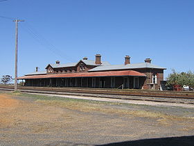 La gare de Serviceton
 Australie