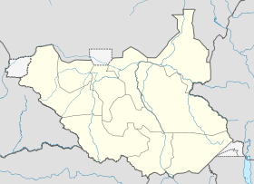
Kapoeta
Contenu soumis à la licence CC-BY-SA. Source : Article Kapoeta de Wikipédia en français (auteurs)
Regardez d'autres dictionnaires:
Kapoeta — 4.7833.57 … Deutsch Wikipedia
Kapoeta — Original name in latin Kapoeta Name in other language Kabuyta, Kapoeta State code SS Continent/City Africa/Juba longitude 4.77167 latitude 33.59028 altitude 667 Population 7042 Date 2012 01 19 … Cities with a population over 1000 database
Narus River, Kapoeta — The Narus River originates in the east of the Didinga Hills in Eastern Equatoria State, South Sudan. It flows eastward and discharges into the swampy area northeast of Narus. The river floods during the rainy season, but ceases to flow at other… … Wikipedia
Narus, South Sudan — Narus Town … Wikipedia
Didinga Hills — The Didinga Hills are an upland area in Eastern Equatoria state of South Sudan, lying mainly within Budi County. They are named for the Didinga people who live in the region. The Didinga Hills have rich and fertile soil that is used for… … Wikipedia
Boya people — The Boya (called Larim and Langorim by the Didinga people) are an ethnic group numbering 20,000 to 25,000 people living in Budi County, part of the Greater Kapoeta region of the South Sudanese state of Eastern Equatoria.[1] The language of the… … Wikipedia
Nimule Airport — IATA: n/a – ICAO: HSNM … Wikipedia
Kinyeti — Elevation 3,187 m (10,456 ft) … Wikipedia
Magwi — Magwe Town … Wikipedia
Nimule — Nimule … Wikipedia
 Soudan du Sud
