Kambalda
- Kambalda
-
Kambalda est une petite ville minière située à environ 60 kilomètres de la ville minière de Kalgoorlie en Australie-Occidentale, dans les Goldfields-Esperance. Elle est formé de Kambalda East et Kambalda West, séparés de 4 kilomètres, et est située à l'extrémité ouest d'un lac salé géant, le lac Lefroy.
Notes et références
Wikimedia Foundation.
2010.
Contenu soumis à la licence CC-BY-SA. Source : Article Kambalda de Wikipédia en français (auteurs)
Regardez d'autres dictionnaires:
Kambalda — may refer to: *Kambalda, Western Australia, a mining town in Australia *Kambalda Nature Reserve near the town … Wikipedia
Kambalda — [kəm bɔldə], Bergbaustadt in Western Australia, Australien, 60 km südlich von Kalgoorlie Boulder, 5 000 Einwohner; Zentrum des Nickelerzbergbaus, viertgrößtes Vorkommen der Erde (17 Mio. t mit bis zu 4 % Ni Gehalt); Anreicherungsanlage am Lake… … Universal-Lexikon
Kambalda — ▪ Western Australia, Australia mining town, southern Western Australia. It lies 37 miles (60 km) south of Kalgoorlie Boulder. Gold was mined there from 1896 to 1906, but the site s modern importance dates from 1966, when deposits of high… … Universalium
Kambalda type komatiitic nickel ore deposits — Kambalda type nickel ore deposits are a class of magmatic nickel copper ore deposit in which the physical processes of komatiite volcanology serve to enrich, concentrate and deposit nickel bearing sulfide within the lava flow environment of an… … Wikipedia
Kambalda, Western Australia — Infobox Australian Place | type = town name = Kambalda state = wa caption = Kambalda Office and Library lga = Shire of Coolgardie postcode = 6442 pop = 4,259 est = Kambalda East ( 1967 1973), Kambalda West (1969 1975) stategov = Electoral… … Wikipedia
Kambalda — /kæmˈbældə/ (say kam balduh) noun a town in southern central WA, south of Kalgoorlie; nickel mining …
КАМБАЛДА (Kambalda) — никелевое месторождение в Зап. Австралии. Эксплуатируется с 1967. Месторождение гидротермального происхождения. Общие запасы 24 млн. т руды, содержащей 3,24% Ni, 0,04% Со. Выплавка металла в г. Куинана … Большой Энциклопедический словарь
Yilgarn Craton — The Yilgarn Craton is a large craton which constitutes the bulk of the Western Australian land mass. It is bounded by a mixture of sedimentary basins and Proterozoic fold and thrust belts. Zircon grains in the Jack Hills, Narryer Gneiss Terrane… … Wikipedia
Kambaldaite — Kambaldaite, NaNi4(CO3)3(OH)3·3H2O, is an extremely rare hydrated sodium nickel carbonate mineral described from gossanous material associated with Kambalda type komatiitic nickel ore deposits at Kambalda, Western Australia, and Widgie Townsite… … Wikipedia
Shire of Coolgardie — Infobox Australian Place | type = lga name = Shire of Coolgardie state = wa imagesize= 180 caption = Location in Western Australia pop = 3,798 (2006 census) area = 30400 est = 1890s seat = Coolgardie mayor = David Bergmeier region = Goldfields… … Wikipedia
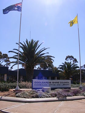 Poste et bibliothèque de Kambalda
 Australie
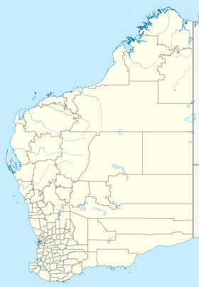
 Kambalda


